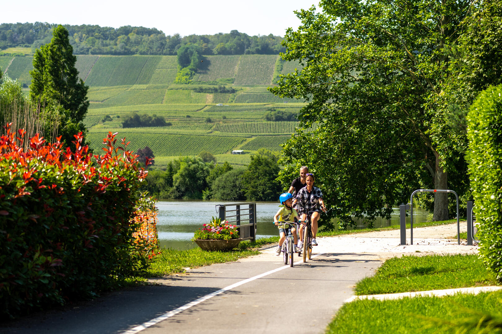
Véloroute 52 : De Dormans à Vitry-le-François
in Dormans
92.1
km
4h 50min
Medium
- See all reviews
- 233 meters of difference in height
-
- Start altitude : 64 m
- End altitude : 104 m
- Maximum altitude : 123 m
- Minimum altitude : 62 m
- Total positive elevation : 233 m
- Total negative elevation : -194 m
- Max positive elevation : 18 m
- Min positive elevation : -16 m