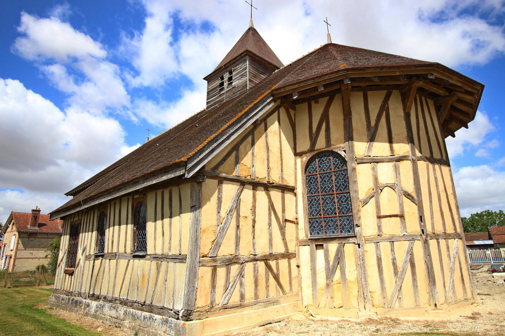
Route des églises à pans de bois de Champagne
in Mathaux
161.8
km
2h 30min
Easy
- Departure
- Mathaux
-
-
Difference in height
- 507.36 m
-
-
-
Documentation
- GPX / KML files allow you to export the trail of your hike to your GPS (or other navigation tool)
-
- See all reviews
- 507 meters of difference in height
-
- Start altitude : 127 m
- End altitude : 126 m
- Maximum altitude : 166 m
- Minimum altitude : 101 m
- Total positive elevation : 507 m
- Total negative elevation : -508 m
- Max positive elevation : 32 m
- Min positive elevation : -39 m